

Restoration in El Yunque National Forest: Riparian Corridor Assessment and Prioritization
Sponsoring organization: United States Forest Service
Team members:
Jared DeMaio (Aerospace Engineering ’20), Jason King (Computer Science ’20), Matthew Schmitt (Robotics Engineering ’20), & Stephen Wood (Economic Science ’20)
Download the final presentation.
Executive Summary:
As the rate of climate change continues to accelerate, one of the many resulting effects is the increase in the frequency and intensity of tropical cyclones, including hurricanes. Hurricanes cause widespread destruction in both the communities and ecosystems they pass over. In recent years, Puerto Rico has had to deal with the effects of two devastating hurricanes, Irma and Maria, which both struck the island within two weeks of each other. An area of the island that suff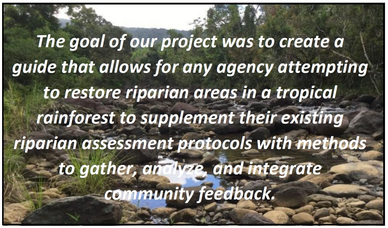 ered significant damage was El Yunque National Forest, which is controlled by the United States Forest Service (USFS). When looking to restore the forest, it is important for the USFS to look at areas of particular ecological significance, such as riparian areas. Riparian areas, or terrestrial areas near the edge of a river or stream, are not only essential to natural ecosystems, but for the nearby communities that rely on rivers or streams for their water supply.
While the USFS has already formulated guidelines for assessing riparian areas, previous assessment protocols have lacked explicit instructions on gathering and incorporating community input, which can be an invaluable resource for gathering data, as locals may have information on their surrounding ecosystems that is not readily available to a larger agency. The goal of our project is to create a guide that allows for any agency attempting to restore riparian areas in a tropical rainforest to supplement their existing riparian assessment protocols with methods to gather, analyze, and integrate community feedback. In order to create and test the validity of our guide, our project was split into five main objectives:
- Select a watershed
- Select drainage basins within the chosen watershed
- Select riparian areas to assess and restore
- Carry out a restoration effort in the selected riparian area
- Evaluate community input on involvement
Due to only having seven weeks to work on this project, several limitations were met when executing our objectives and we were unable to conduct as thorough of an investigation as we originally planned. Despite this, our methods and results are listed below.
Methods and Results
In order to select a watershed to target, our team first spoke with stakeholders to obtain community opinions on watershed needs and compiled ecological data in the form of GIS maps of four watersheds within El Yunque. After analysis of these factors, we elected to focus on significant drainage basins in the Rio Espiritu Santo watershed. We then conducted participatory mapping exercises and interviews with community members to generate GIS layers which were used to identify drainage basins of importance. We ecologically assessed three sites after generating an assessment protocol. We chose the riparian area near the Eliza Colberg Girl Scout Camp for restoration due to its proximity to local communities and feasibility for a passive restoration effort. Once the restoration project was completed by our team, we sent out a briefing to the individuals that we interviewed. These briefings include a questionnaire asking how satisfied they were with the selection of areas to repair, and if they felt they had an adequate say in the selection process.
Conclusions and Recommendations
To preface future restoration projects, we encourage the involvement of community leaders to inform the community of the team’s efforts and outline their overall goals. This also gives the leaders an outlet to voice any questions or concerns they may have.
When selecting the watershed, we found it beneficial to couple input from community leaders with ecological GIS data to determine how badly damaged areas are and how prone they are to future damages. GIS layers that include community information such as water intake points and points of interest can be integrated as well. Another conclusion we drew was that there was a strong interest in parts of the watershed outside of USFS jurisdiction. In future projects such as this, the original gathering of GIS data should be applied to the entire watershed.
When selecting a drainage basin, our project found it best to almost exclusively use community input. Due to project limitations, we were unable to interview people from outside the watershed, however interviews should be spread across the watershed to reduce area biases and to provide information on areas outside forest boundaries. A combination of interview questions and participatory mapping exercises work well together, allowing interviewees the chance to indicate and explain the importance of different areas. The participatory maps can then be weighted and put into GIS layers for further inspection.
To assess the riparian areas we used ecological data collected from the field. It is better for the ecological health of the drainage basin to be assessed professionally with an established protocol. We found that it works to assess these areas in teams, using a professionally customized protocol and short surveys to gauge the health of the area.
During the restoration project, it was both beneficial and detrimental to have volunteers from the community nearby to help, as was our original intent. Training these volunteers took longer and required more instruction, however, simpler tasks were executed easily by the volunteers while trained personnel tackled the more skilled tasks. Additionally, it lends a sense of connection and accomplishment to the people in that community. Thus we encourage future iterations to include the community in the actual restoration effort when feasible. It is also important to maintain contact with the community members who helped by keeping them up to date on information relevant to the project.
Future projects should consider including more organizations in efforts such as these. Other organizations can add legitimacy to the project, and possibly establish friendlier relations with communities nearby. These communities may know the other organizations better, and could be more likely to respond positively to the effort if it was backed by a recognizable name outside of just the USFS. However, adding more organizations does require more communication and creates the possibility for a conflict of interest and therefore should be considered thoroughly.